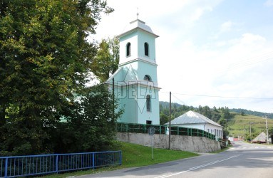
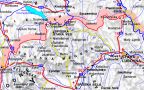
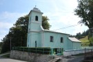
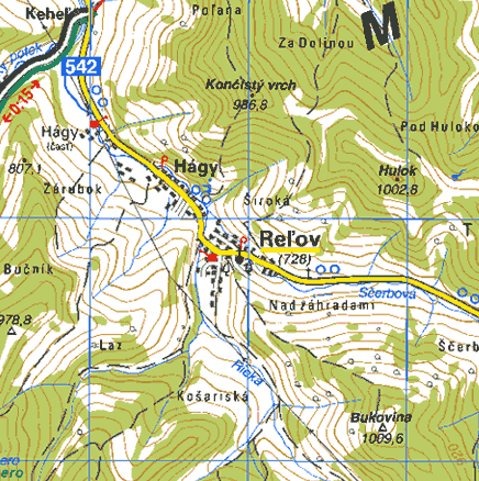
The village Reľov is situated in the Zamagurie region, right at the place, where the creek Ščerbová joins the river Rieka. Nowadays it is united with the village Hágy. Reľov is older - it was founded by master Kokoš already in the 13-th century. Hágy arose as a result of colonisation by refugees that were deported from Poland by Juraj Horváth from Plaveč in 1612. Both villages were vassals of the Red Monastery.
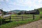
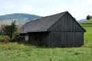
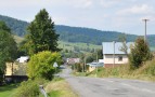
Reľov kept its agricultural character up to present day. Wooden rustic houses (built on stone foundations) together with cattle rustic-stalls (barn, shed, sheep-fold) create a harmonic unit.