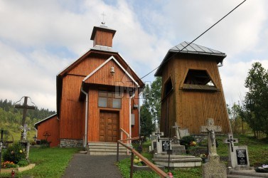
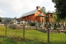
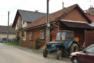
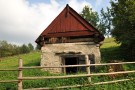
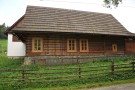
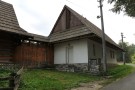
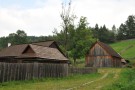
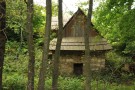
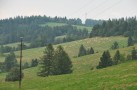
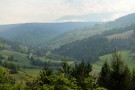
The village is situated in the Spišská Magura mountains. It arose through the process of colonization at the beginning of the 17-th century. At that time it was a vassal village of the Niedzica castle. Population consisted mostly of farmers and cattle keepers. In the village there is a wooden chapel and a belfry from the beginning of the 20-th century and a chain of rustic houses with shingle saddle-shaped roofs and cool cellars.