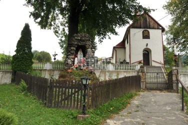
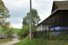
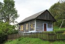
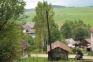
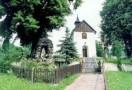
It is a small village in the Jordanec valley, characteristic with grassiand farming. In the 14-th century it was a property of the Červený Kláštor (Red Monastery). In the 19-th century it was partially inhabited with German colonists. A potter’s workshop (the only one in Spišská Magura) was in the village. Nowadays, locals work as farmers and cattle/sheep shepherds. In the village, there are many rustic houses with stone foundations and gable roofs oriented towards the road.