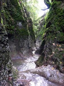
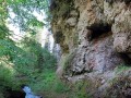
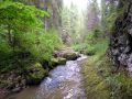
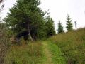
Jarabinský Canyon is a protected natural area situated in the eastern part of the Natural Park of Pieniny on the area of about 5,5 ha, in the north from the village Jarabina.
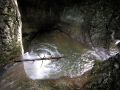
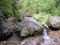
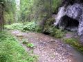
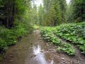
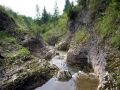
It has a shape of a short canyon valley, which was eroded by the creek Malý Lipník (Small Lipník). It rises below the hill Baraní roh and not far from the spring it cuts into lime stones of Dudkova skala. There it snakes on the bottom of the narrow valley under the steep limestone slopes and creates a sequence of rapids, waterfalls and giant whirls.
The most beautiful part of only 0,5 km long canyon is its lower 150 m part which ends under the Lysá skala (The Rock Lysá).