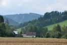
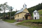
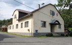
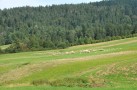
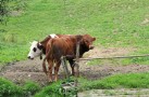
This village is situated in the northern slope of the Spišská Magura mountains. People built their houses in a chain along the creek. It was colonised in the 17-th century by refugees that were deported from Poland by Juraj Horváth. Local population consisted mostly of farmers, shepherds and woodcutters. Unfortunately, number of people living in the village has been decreasing for the last 100 years. The village is transforming into a recreational area.
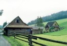
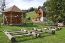
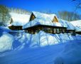
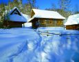
In the village you would find a lot of rustic houses with steep shingle saddle-shaped roofs. The houses together with cattle rustic-stalls create a harmonic unit.