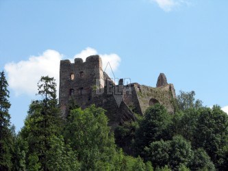
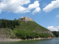
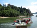
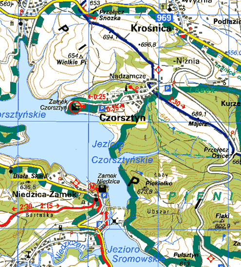
Only ruins remained from the polish castle Czorsztyn, that was situated at the Zámocký Hill (589 m) on the left bank of the Dunajec river right at the water-dam Jezioro Czorsztyńskie.
It was built at the times of Tatar invasion. It is known as a seat of many Polish mayors and was used as a border fortress and a counter-balance against the Ungarian castle Niedzice. It has often been a centre of many battles, uprisings and rebellions. In 1598 it was conquered by O. Laski, in 1651 by the farmers´ uprising leaded by Stanislav Kostka, and in 1768 by members of Bavarian confederation who came to the northern Slovakia after they were defeated in Poland.
Nowadays the castle is a national cultural monument. From the ruins you would have a very nice view.